The Big Island’s Big Volcano Blowup
Monday, December 12th, 2022
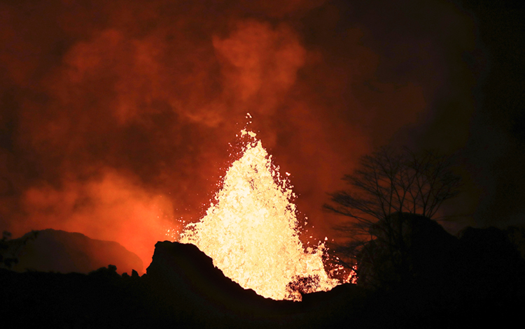
Lava fountains and flows illuminate the area during the Mauna Loa volcano eruption in Hawaii, U.S. November 30, 2022.
Credit: © Go Nakamura, Reuters/Alamy Images
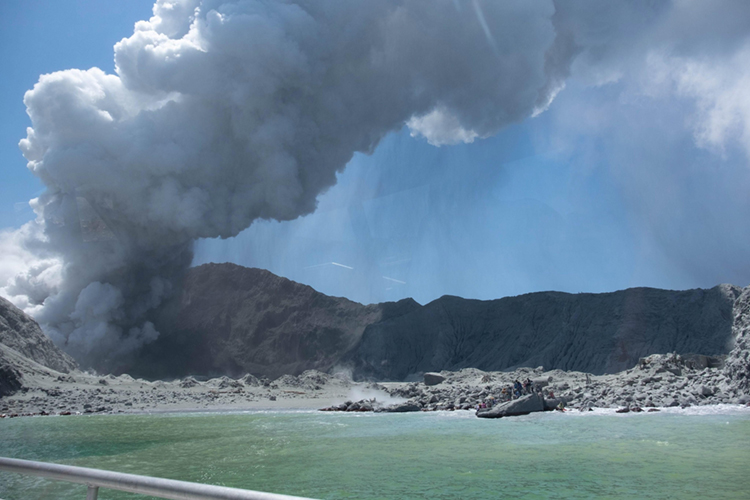
That’s a whole lotta lava! Mauna Loa, the world’s largest active volcano, erupted on November 27, 2022, and it hasn’t stopped. Mauna Loa is in Hawaii Volcanoes National Park on the island of Hawaii. It rises 13,677 feet (4,169 meters) from sea level to its peak. That is about 12 Eiffel Towers standing on top of each other! At the top is Mokuaweoweo, a crater. But wait, there is more! The Kilauea, a volcano that lies on the southeastern slope of Mauna Loa, is also erupting. The two volcanoes are creating a dual eruption that has continued since late November.
Mauna Loa, meaning long mountain, spans about half the surface of Hawaii’s Big Island. It covers 10.5 miles from the base to the summit. It hasn’t erupted in 38 years! Most volcanologists consider any volcano that has erupted in the last 10,000 years or so to be active. Some of them use the term dormant to describe an active volcano that is not currently erupting or showing signs of a coming eruption. Volcanologists label a volcano extinct if there is strong evidence it will never erupt again.
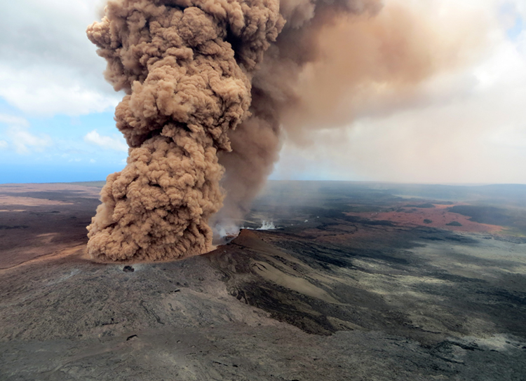
Mauna Loa’s continued eruption has shot lava into the sky and down the slope of the mountain. The lava flow is dangerously close to a pivotal highway on the Big Island. Daniel K. Inouye highway connects the eastern and western halves of the island. As the lava flow galumphed at a rate of 40 to 60 feet an hour, officials activated the National Guard to the scene on Tuesday, 9 days after the eruption began. Officials have a plan for shutting down the highway if the lava gets much closer.
Scientists can predict the behavior of volcanic eruptions by looking at past eruptions. There is plenty of data on Kilauea since it has erupted off and on since the mid-1950′s. Kilauea erupted in 2018 engulfing around 700 homes in lava and spewing volcanic ash 30,000 feet into the air. While scientists know what Kilauea is capable of, they do not have much information on Mauna Loa.
Mauna Loa’s longest eruption lasted 18 months in 1855-1856. Most of the lava produced by eruptions comes from rifts (cracks) in the mountain’s sides, not from the peak crater. In 1926, lava destroyed a coastal settlement. Parts of other settlements were buried in 1950. A 1984 eruption sent lava flowing to within 4 miles (6.4 kilometers) of the city of Hilo.