The Vernal Equinox Brings Spring
Monday, March 20th, 2023
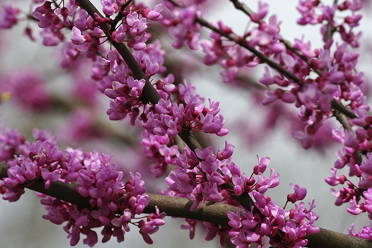
Clusters of redbud blossoms cover the tree’s branches in the early spring, before the leaves begin to unfold.
Credit: © Thinkstock
Spring has sprung! Today, Monday, March 20th, is the vernal equinox. The equinox is the official marker of the spring season in the Northern Hemisphere. The equinox occurs when the sun is directly above Earth’s equator. When the sun is in this position, all places on Earth receive approximately 12 hours of sunlight. The term equinox comes from a Latin word meaning equal night.
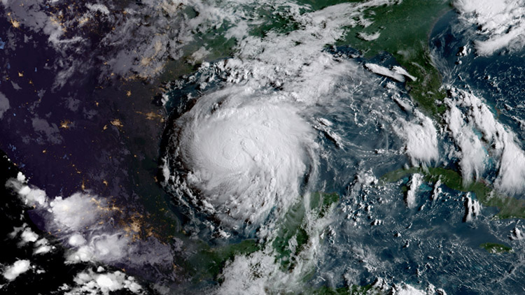
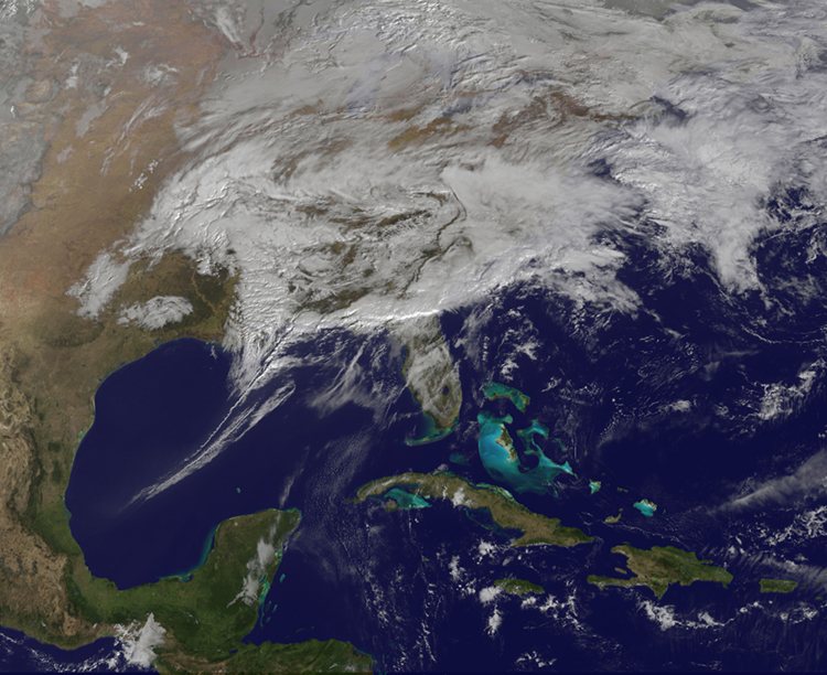
Many people in the United States are welcoming spring with piles of snow outside their front door! Unseasonal and abnormal storms have hit California and the northeast United States. Heavy rain, snow, hail, and even tornadoes have hit California in the last two months. The flooding has broken levees in some communities in northern California, raising fears of even more damage. A nor’easter hit New England on Tuesday, March 14th, after an unusually quiet winter, dropping nearly 28 inches (71 centimeters) of snow in Vermont and Massachusetts. A nor’easter is a powerful storm coming from winds going northeast that produces a lot of precipitation. Many people throughout the United States are keeping their snow shovels, boots, and parkas out for a few more weeks!

A snowstorm in the Boston area left two feet of snow. Credit: AP Photo
The equinoxes occur on March 19, 20, or 21 and on September 22 or 23. In the Northern Hemisphere, the March equinox marks the start of spring and is often called the vernal equinox. The position of the vernal equinox is called the first point of Aries. The word vernal means of spring. The September equinox marks the beginning of autumn and is called the autumnal equinox. The seasons are reversed in the Southern Hemisphere.
The time interval from the March equinox to the September equinox is longer than that between the September equinox and the next March equinox by several days. This time difference results from the earth’s elliptical (oval-shaped) orbit around the sun. The earth moves faster in its orbit when it is closer to the sun. The distance between the earth and the sun is shortest in January. Therefore, the earth completes the semicircle from the September equinox to the March equinox faster than it does the opposite semicircle.
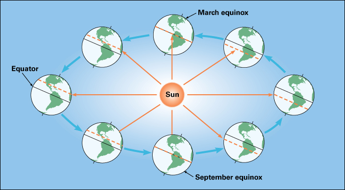
The equinoxes are the two moments of the year when the sun is directly above the equator. As Earth moves in its orbit around the sun, the position of the sun changes in relation to the equator, as shown by the dotted lines in this diagram. The sun appears north of the equator between the March equinox and the September equinox. It is south of the equator between the September equinox and the next March equinox. Credit: WORLD BOOK diagram
Historically, the year began with spring in many cultures. Evidence of this practice in ancient Rome remains part of the modern calendar. Counting March instead of January as the first month of the year, we find that September, October, November, and December are the seventh, eighth, ninth, and tenth months. The prefixes sept-, oct-, nov-, and dec- come from the Latin words for 7, 8, 9, and 10.
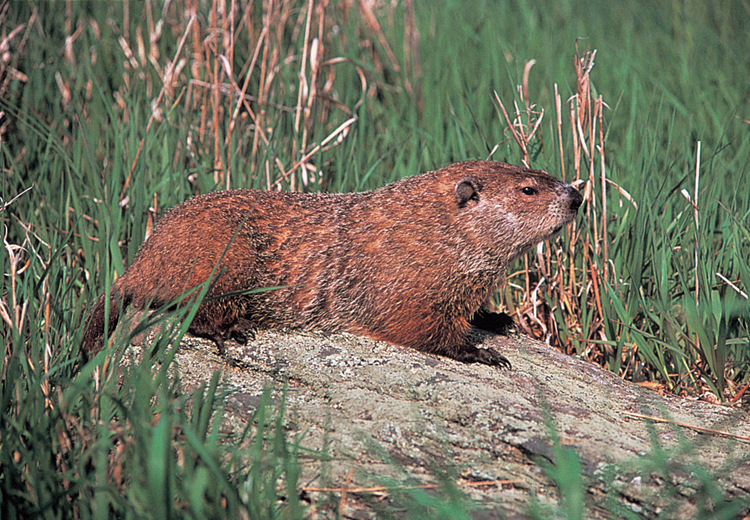
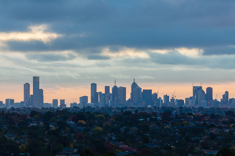
Spring looks different around the world. The Northern Hemisphere has spring weather from late March through May. In the Southern Hemisphere, spring weather begins in September and lasts through November. The number of daylight hours increases during spring, particularly in the polar regions, and the temperature rises. Nature awakens in spring. Flowers bloom, and hibernating animals leave their winter sleeping places. Many cultures have festivals that celebrate the arrival of spring. Find your own way to celebrate spring this year. Spring is a new beginning, enjoy the flowers, longer days, and warmer weather!